Das Ende der Straße: Das Leben nach einem Thru-Hike (ENG)

What does life hold after the big thru-hike is through?
We spent eight hours walking in a storm by the side of the highway. As trucks sped by, they sprayed us with filthy road water. It was our last day on the Te Araroa, the 3006km thru-hike we’d lived and breathed for the last five and a half months.
I’d been mentally preparing myself for an anticlimactic end. How could we celebrate such a massive milestone in a way that makes it feel finished? After all, tomorrow we wouldn’t put on our packs and keep hiking.
As I shivered in my soaked rain clothes, I thought ‘this is even worse than I imagined.’ I just wanted it over, to commence that lovely warm and clean post-trail life—and never ever walk in another rain storm.
Yet, as we neared the southern terminus in the town of Bluff, the rain miraculously stopped and the sharp pain in my knees and shoulders faded, dulled by the building adrenaline. We turned the corner and saw the signpost. The sign I’d seen in countless photos of people who’d finished their hike.
Emotions ran high, especially when I saw three unexpected hiking friends who’d finished the day before. They ran up to us with party poppers and champagne. I dropped the heavy backpack I’d lugged the length of the beautiful New Zealand countryside and my body shook as I hugged them. We are the Champions started playing from their playlist as we popped our champagne, followed by Cold as Ice, I’m Still Standing and Singing in the Rain. A crowd of onlookers started cheering as Marco, the boyfriend I met on the trail, helped me climb to the top of the signpost.

It was one of those moments that felt like something out of a movie. It actually felt complete in a way I didn’t think it would. Our story ended on a high.
When the rain started up again, our shivering returned. We piled wet backpacks and muddy shoes into the car our friends had hired. It took twenty minutes to drive the 31km we’d walked that day. At dinner, we told our waiter of our achievement and he said ‘Yes, I can smell you—can you please move your jackets so as not to disturb the other patrons?’
Back to Reality
Then it was time to fly home to the life I’d lived before. I was excited to see my friends and family, to meet the niece who was born while I was away, to wear clothes that didn’t stink.
Thru-hiking upends your life. It’s a way out of a dead-end job, a way to get over a relationship breakup or a way to move into a new phase of life. Coming home after such a powerful experience can be strange and difficult to navigate. Once the adventure is over, you try and slot back into life whilst also trying to lead a different existence. Returning in the midst of a pandemic also brought about its own difficulties.
‘Many thru-hikers will attest to the post-hike blues during the transition back to civilian life. I imagine if you never felt it, you probably just never stopped hiking. Andrew Skurka, is that you?’
Marco and I said goodbye at the airport. With a pandemic having taken hold of the world while we were on the trail, there was no chance of travelling together. I would return home to Australia for a month of quarantine, and he would fly back to Switzerland. We had spent months together walking the trail 24/7 and we were unsure when we’d see each other again.
I returned to a fast-paced world with busy schedules. I was surprised how isolating that could be for me. I quickly felt deflated, and COVID had impacted everyone’s life and nobody had the mental space free to understand what I was going through. I wondered if I’d already used up my quota of happiness for the year. Perhaps I just needed to go through the motions until 2020 was finally over.
Many thru-hikers will attest to the post-hike blues during the transition back to civilian life. I imagine if you never felt it, you probably just never stopped hiking. Andrew Skurka, is that you?
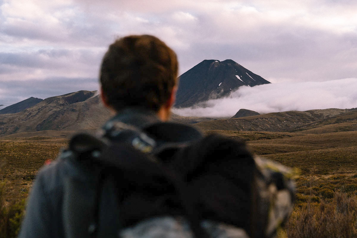
I was lucky enough to pick up some old photography clients of mine and get back to work, and so I quickly had an income. But the life of a freelance photographer is the exact opposite of a thru-hiker. It’s hard to have a proper routine. I had photography shoots coming in at random times and days. I was also broke after the hike, so all I had was a makeshift office in my bedroom. Everyone around me seemed to have it all figured out, while I was trying to pull the old pieces of my life back together.
I decided the best thing to do to help transition into this post hiking life, was to go for another hike. The Cape to Cape, a 135km trail along the coast of Western Australia seemed like a good choice. A few friends thought I was crazy to move from one hike to the next, assuming I would have had my fill of the open trails. But I didn’t just go on a hike—I became a hiker.
‘On my thru-hike, I felt like I was working towards something greater.’
Before the Te Araroa, I wouldn’t have made such a decision to pack up and head to the trails so easily. But I had a free week and so I jumped in the car, drove south to the trailhead and started walking. I already had the equipment I needed and it was a short, easy hike in comparison. But it was long enough to remind me that although I was still figuring out a lot of things back home, I was still the capable person I’d become on the Te Araroa. As I packed down camp each day and started walking, all of those worries faded away. I came back prepared to tackle what was to come.

Make new goals
On my thru-hike, I felt like I was working towards something greater. I moved from one goal to the next—each step, each kilometre, each morning we packed up our tent brought me closer to the end. After finally reaching the Bluff, it felt like a holiday. It was a treat to sleep in and just do what I wanted. But I quickly started feeling the pointlessness of this goal-less existence.
‘Returning home from a thru-hike feels like a rebirth, from the safety of the womb into a bright, loud and rushed world.’
To fill that space, I’ve been focussing on putting the trail down on paper, day by day, in the hope of turning it into a book. My boyfriend is spending his days planning and making all of his own gear for the next trail.
Endorphin withdrawal is real
After five months on the trail, I was a bona fide endorphin junkie. I went from exercising for nine or ten hours a day to almost nothing. Now, I am well and truly in withdrawal. It explains why I’ve been so obsessed with going to the climbing gym.
Decision-making fatigue
Decision making is easy (or non-existent) on the trail. What time will I start hiking? How many kilometres will I walk today? Should I have a second pizza? I surrendered myself to the trail, to the markers and the maps and the trail notes. At times it was annoying to be following a route that someone else set out. Did I really need to be walking through a swamp right now? But most of the time, not having to make big decisions gave me the mental space to think freely—without life’s worries crowding in.
‘I have a million stories bubbling away in my mind but I don’t want to become that person who manages to make every conversation about their thru-hike.’
Returning home from a thru-hike feels like a rebirth, from the safety of the womb into a bright, loud and rushed world. Suddenly my life is full of decision-making and I’m out of practice. How often do I need to wash my clothes? Should I have a shower today? After a few months at home, I feel a little less overwhelmed. Though I still don’t clean my clothes often enough…
The company you keep
As with many personal achievements, most people can’t really comprehend the magnitude of what my thru-hike has meant to me—and I find it’s easier to just not talk about it. I have a million stories bubbling away in my mind but I don’t want to become that person who manages to make every conversation about their thru-hike. Oh you like cheese? Well once when I was hiking, I ate so much cheese I thought I might die.

Staying in touch with the Tramily really helps. They were there and they’re happy to take a trip to memory lane with me. They keep me from becoming too wistful about the hike. I seem to view every memory through rose coloured glasses now. On the phone to Marco, we spoke about that time we walked through an icy river, yelling out loud in pain at the cold. My feet so numb I felt like I was walking on bloody stumps. ‘Wow, those were the days,’ I said. Then he reminded me that we both hated every second of that crossing. Then, for a brief moment, I appreciated being back home and wearing dry socks—and being only metres away from a hot shower.
The light at the end of the trail
Dealing with post-hike blues is tough, but the positive side of coming home from a thru-hike, is I am so much more equipped to deal with the difficulties that life brings. I’ll never forget the wise words of my trail buddy, Eli, who said, as he squeezed water out of his sleeping bag in the midst of one of those famous New Zealand storms; ‘one thing we know is that every terrible moment passes.’
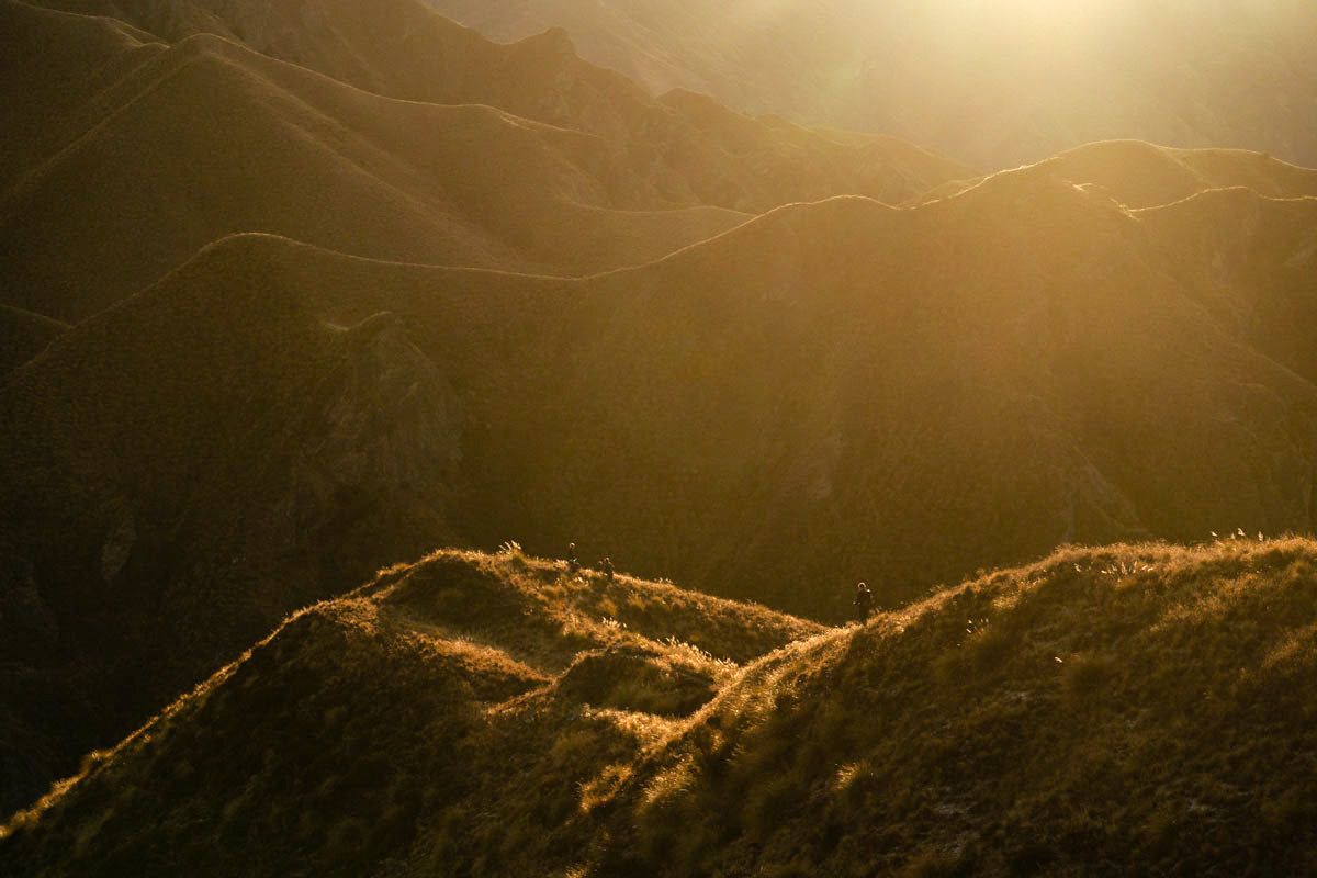
The good ones come and go too; watching sunrises from mountain peaks, spotting wild Kea (the only alpine parrot in the world) trekking through mossy forests. These are beautiful memories I’ll have for life. Friends and family have told me I seem a lot surer of myself, more grounded. Walking through a snowstorm with wet clothes and worrying I was developing hypothermia has taught me how strong I can be. Having a bad stomach and having to take care of business next to a highway taught me to not take myself too seriously. Getting blown over by a strong wind and whacking my head on a rock, taught me to physically ground my feet, which maybe metaphorically taught me to ground my feet? I guess not every lesson we learn is linear.
It’s easy to mourn the life I lived on trail. And the version of myself I got to be while I walked. I read somewhere that grief never goes away, our life just grows around it until it doesn’t feel so big. That’s what I’m focussing on. Growing a full life around my endless trail memories. The trail has set the bar pretty high, so I know the life I’m working on is going to be pretty special.
PIN FOR LATER

