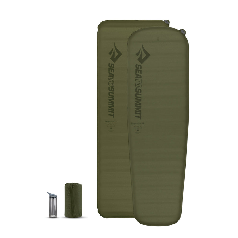
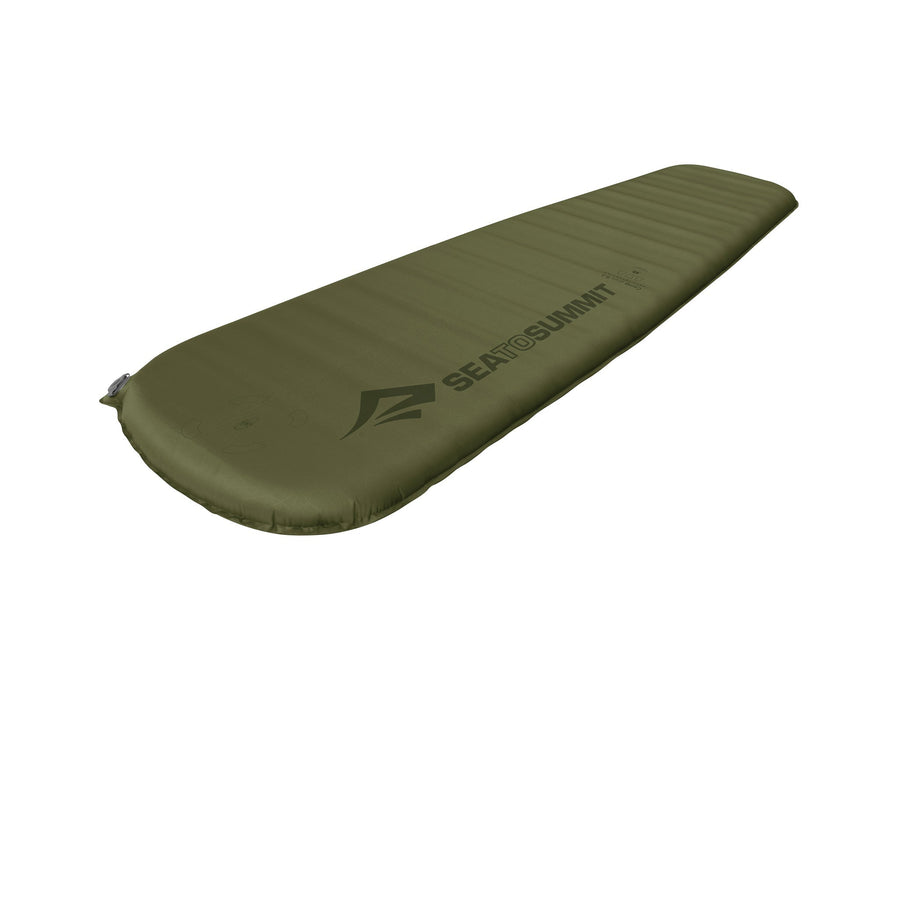
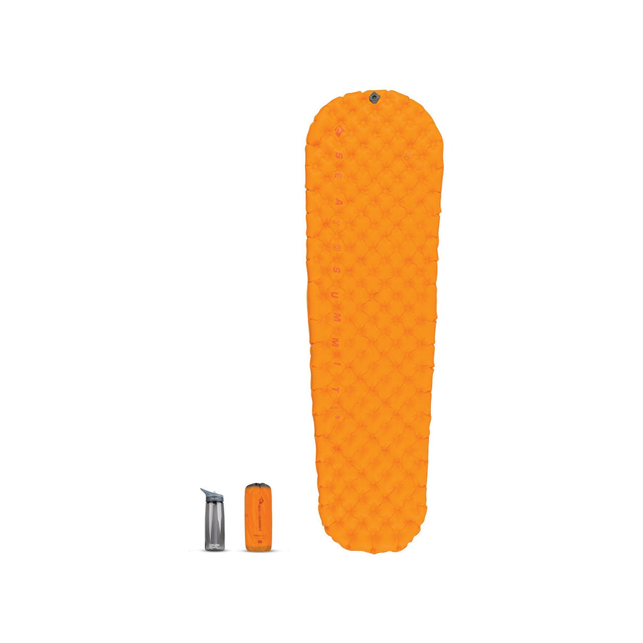
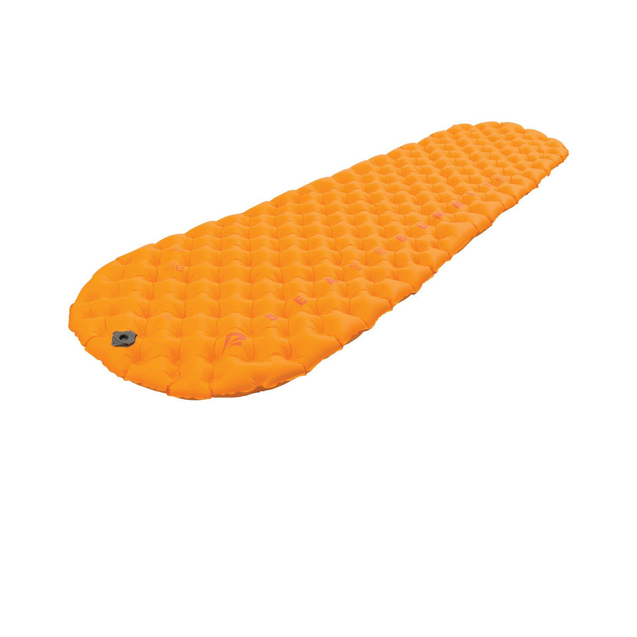
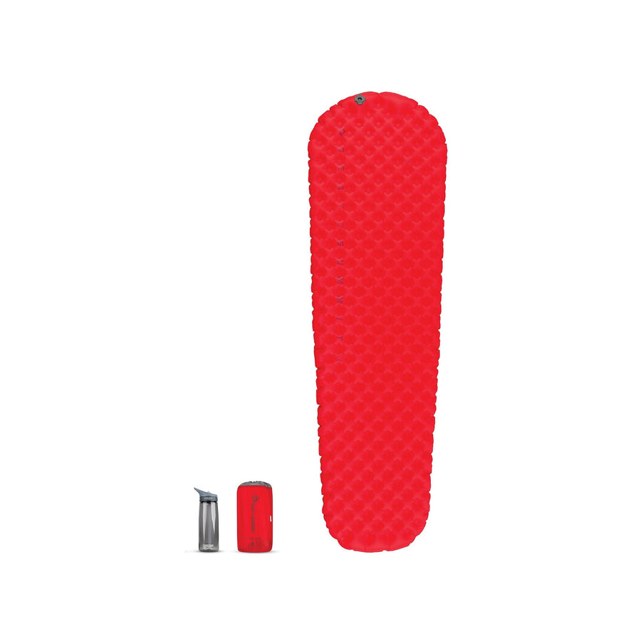
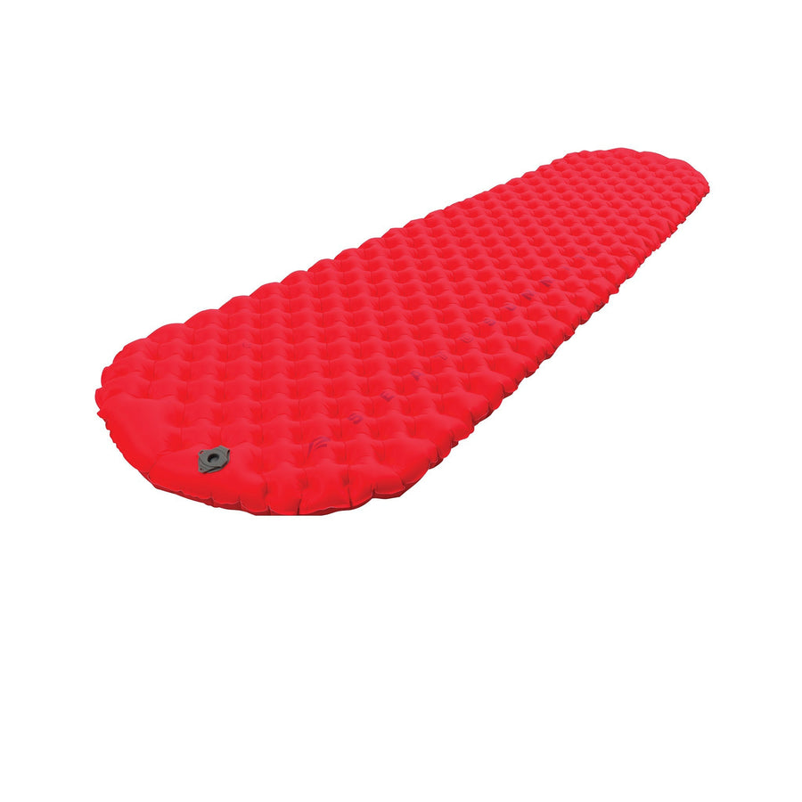
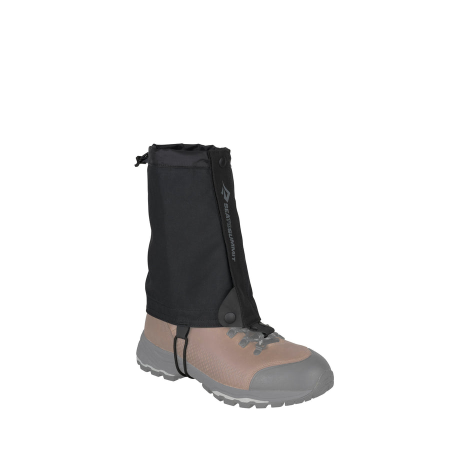
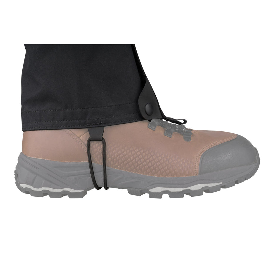
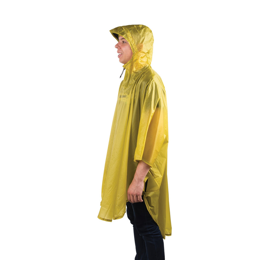
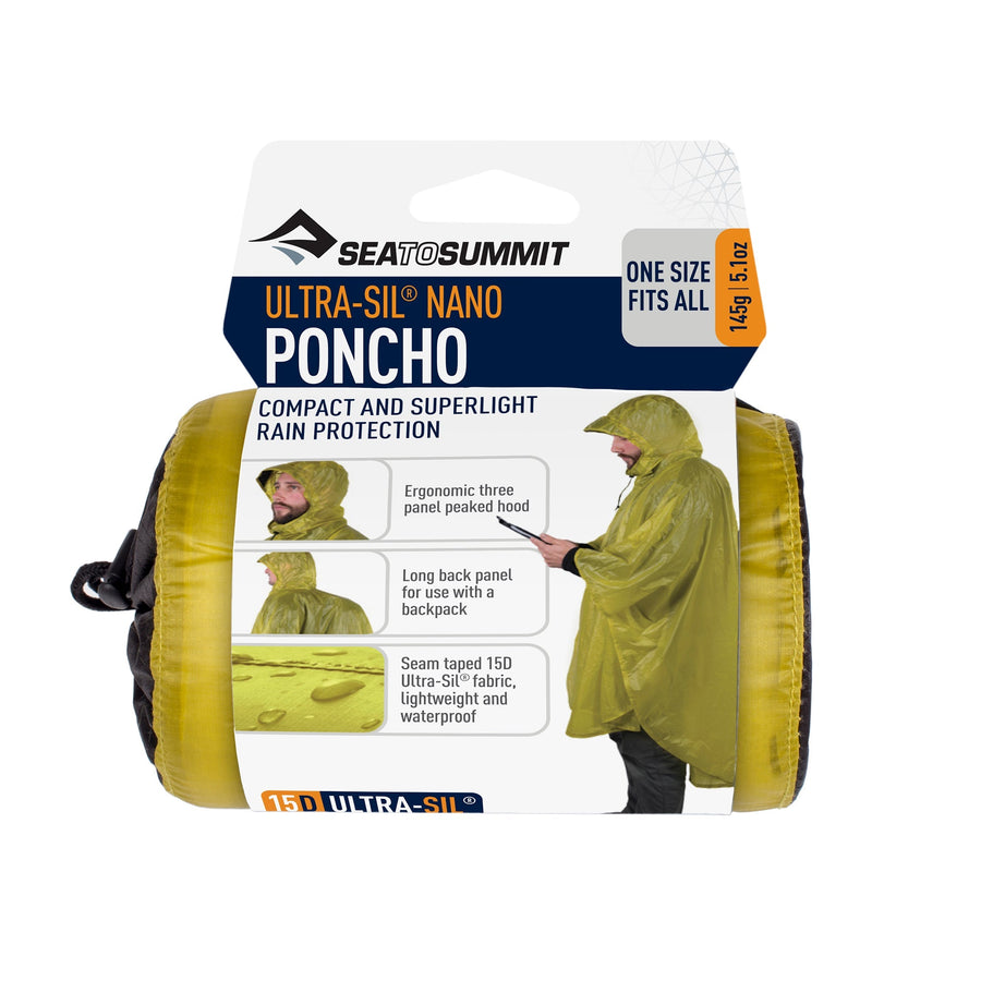
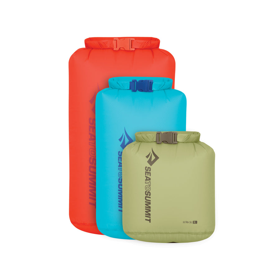
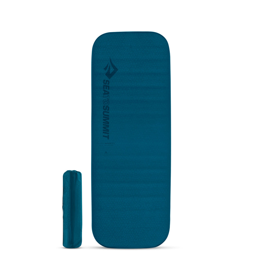
Skip to content

You are a pro? Join our Pro Program: Learn more

Adventure Tips

The 10 Best Hikes for Winter Storm-Watching

The 10 Best Hikes for Winter Storm-Watching

Experience the spectacle of winter weather on one of these trails.

Kalaloch Beach

Olympic NP, WA

The naturalist Henry Beston once wrote that “the three great elemental sounds in nature are the sound of rain, the sound of wind in a primeval wood, and the sound of outer ocean on a beach.” Experience all of them at Kalaloch Beach, on Washington State’s Olympic Coast, where temperate rainforest dips to the water’s edge and enormous storms blow in off the Pacific all winter. Start from the day use parking lot at Kalaloch campground. A short path leads you to a set of crumbling stairs and the beach; plan your hike for low tide, since at high tide the shore ends here. Wander two miles north along a string of small coves (Kalaloch is actually divided into beaches 1,2,3, and 4) to Brown’s Point, below a set of high bluffs. Rain and wind are almost guaranteed here in the winter, whipping the waves into a spumy frenzy before rushing into the old-growth cedars and firs rising straight from the pebbly shore. Don’t round the headlands to the north; you’ll be trapped by the tide. Once your awe at the storm waves stops winning out over the biting wind, retrace your steps to finish the four-mile out-and-back before the tide comes in.

Permit none Contact wta.org/go-hiking/hikes/kalaloch-browns-point

.
Backpacker

"Tofino Surf" by colink. is licensed under CC BY-SA 2.0

Wild Pacific Trail

Vancouver Island, BC, Canada

When a storm born in the Aleutian Low sweeps down the coast in a riot of 20-foot swells and 40 mph winds, the west coast of Vancouver Island is where it makes landfall. Catch the action from the Wild Pacific Trail outside Ucluelet, BC. This 6.6-mile trail winds past Amphitrite Lighthouse, a perfect viewpoint for crashing waves, then winds up to Inspiration Point on the first loop (1.6 miles). The second loop starts from the Brown Beach parking lot and traces the cliff edge above the ocean from viewing deck to viewing deck. A short walk back through enormous cedars finishes the loop and returns you to your car. Keep in mind that the ocean in winter doesn’t invite respect; it demands it. Storm waves can toss driftwood—entire trees, not twigs—all the way to the high tide line or pull unwary visitors into the water. Check the tides, swell predictions and wind predictions before heading out, stay off the shoreline rocks and beaches when you’re hiking, and see coastsmart.ca for tips on staying safe while storm-watching.

Permit none Contact Wild Pacific Trail Society

.
Backpacker

"Gloomy" by Kirt Edblom is licensed under CC BY-SA 2.0

Clatsop Trail

Ecola State Park, OR

This 6-mile route makes an easy day hike for winter storm-chasers. Start at the Indian Beach trailhead. Start the loop on by following the gravel service road, climbing through coastal forest for 1.5 miles. Around mile 1.5 a trail crosses the road; turn right to climb to the summit of Tillamook Head. Reach the top—and your first ocean views—at mile 3. The best spot to watch the waves break here is the viewpoint of Tillamook Rock Light, located just past a set of primitive cabins for Oregon Coast Trail thru-hikers. The Lighthouse itself sits on a bare spur of basalt a mile offshore. From 1881 to 1957 it was an operational lighthouse; since then it has passed through a number of private owners, though its reputation as the “lighthouse of death and madness” has scared away many potential investors. For storm photos, though, its isolated tower is perfect; waves here can reach such heights in the winter storms that the break all around the lighthouse and even over the light in a rush of white spray. Once you’ve snapped your storm photos and your rain jacket is starting to feel a little soggy, retrace your steps to the service road. At mile 4.5 take a left at the four-way intersection to follow a narrow trail through the coastal rainforest, with every window in the canopy exposing birds-eye views of the sea stacks at Cannon Beach and the storm-wracked Pacific. This trail loops back to your starting point.

Permit state park pass ($5 per day) Contact Ecola State Park

Trinidad Head Trail

California Coastal National Monument, Trinidad, CA

This loop hike is only a mile and a half long, but with 360-degree views of the Northern California coast you might find yourself doing more than one circuit. Officially part of the California Coastal National Monument since 2017, this trail starts at the Trinidad Beach parking lot. Start on the west side of the head, following a narrow trail up through tk scrub and a few low, windswept pines. The views start right from the trailhead; the turquoise-gray ocean beneath tk storm clouds, sea stacks scattered off the other edge of the bay, waves roaring up against the base of the cliffs. From the top of the trail, watch the boats in Trinidad Harbor below rock with each storm swell. Return down the paved switchbacks on the eastern slope of the head.

Permit none Contact Trinidad Head

.
Backpacker

"Darkening sky at Maine beach" by Josh and Melanie Rosenthal is licensed under CC BY-SA 2.0

Great Wass Island Preserve Trail

Great Wass Island Preserve, ME

This granite promontory spikes straight in the tempestuous waters where the Gulf of Maine and the Bay of Fundy meet. The first 1.5 miles of this 5.5-mile loop wander through coastal forest and unique maritime slope bogs, home to rare baked-apple berries and carnivorous sundews and pitcher plants. A couple miles in, the heath falls away and the storms swirl in; there are no trees clinging to the edge of this island to catch the wind, just granite vanishing into the sea. Follow blue paint blazes along the shoreline to Little Cape Point, keeping an eye out for harbor seals on the rocks. At mile 3.5 turn inland again on the signed Mud Hole Trail. This path follows a narrow inlet cut from the same shoreline granite before veering into the jack pines, then winds back across the island to complete the loop and return you to your car. Be careful during your storm hike, as the shore rocks are slippery in bad weather.

Permit none Contact Great Wass Island Preserve

.
Backpacker

"Cape Disappointment" by tiffany98101 is licensed under CC BY 2.0

North Head Trail

Cape Disappointment State Park, WA

Cliff-edge lighthouses, abandoned artillery positions and thick coastal rainforest might seem like the setup to a thriller novel, but at Cape Disappointment the thrills are all from nature; Wind-shredded storm-clouds over an equally wind-shredded sea, waves that billow in with a roar of shattering spray, moss-hung hemlocks and firs standing sentinel over a forest that feels older than time. Find your way onto the stormy edge of the cape on the North Head Trail, a 3-mile out-and-back with optional side-trips to the Bell’s View Trail, McKenzie Head and Battery 247. Start at the McKenzie Head parking lot. The first side trip starts here; a short trail (just 0.25 mile) leaves from the ease edge of the parking lot, darting out to Battery 247 and McKenzie Head before bending back past McKenzie Lagoon. Battery 247, along with the park’s other gun batteries, was originally constructed during the Civil War, though the fort here was active until the end of World War Two. Retrace your steps from this piece of history to the parking lot, then cross the road to start the North Head Trail. The first mile stays mostly inland, weaving through old-growth forest. As you near the top of North Head a few flashes of the Pacific show between the trees. At mile 1.5 the trail emerges from the forest and heads west, bringing you the North Head parking lot. The trail continues to North Head Lighthouse and the edge of the sea from the other end of the parking lot. Those looking to extend their trip can take the Bell’s View Trail from this parking lot on the way back, snagging another headland summit and views of rising storms as they roll in from the open ocean, before following the North Head Trail back to McKenzie Head parking lot.

Permit Discover Pass ($11.50 per day) Contact Cape Disappointment State Park

Cape Henry Trail

First Landing State Park, VA

Pirates no longer hide from storms and law enforcement in the Narrows here, but the weather-watching is perfect for modern-day hikers. Start from the park trail center. The first three miles are in dense interior forest with occasional swamps, providing habitat for many bird species. The views in this section aren’t incredible in a storm, but the sound of the wind in the trees is; pause on your walk and close your eyes, letting your other senses take the lead, as branches whoosh and clatter above your head. Around mile 3 the trail turns sharply towards the coast, winding past Lake Susan Constant before reaching Broad Bay and long views over the water. This is the best spot on the trail for watching storms. The waves in the sheltered bay aren’t as spectacular as on an open coast, but the sweep of the rain over the water can still take your breath away. Once the storm blows through, retrace your steps to your car.

Permit park entrance fee ($7 per day) Contact First Landing State Park

.
Backpacker

"Grand Haven Ice Sampling" by NOAA Great Lakes Environmental Research Laboratory is licensed under CC BY-SA 2.0

Au Sable Light Station

Pictured Rocks National Lakeshore, MI

Shipwrecks dot the shore beneath Au Sable Light Station, a reminder of the darker side of Great Lakes storms. Far fewer ships wash ashore today, but the storms remain, whipping the enormous lake into a frenzy and driving ice and driftwood far past the tide line. Watch the waves crash up through the exposed wooden ribs of these wrecks from beside the still-active lighthouse at the end of this 3-mile round-trip hike. Start from Hurricane River Campground, then follow the old access road through snow-dusted forest. The route-finding is easy even in deep snow: Just trace the old railbed all the way to the lighthouse. (After larger storm cycles snowshoes may be necessary.) The lighthouse itself is built to withstand even the harshest Great Lakes winters, with walls that taper from four to three feet thick and a light that’s visible for seventeen miles. This perch gives hikers the perfect vantage point for watching Lake Superior’s enormous waves roll in off the water, but if the windchill drops too low or the gusts move from manageable to gale-force you should return to your car.

Permit none Contact Pictured Rocks National Lakeshore

.
Backpacker

"Lake Erie" by amerune is licensed under CC BY 2.0

Gull Point Trail

Presque Isle State Park, PA

At the very tip of a peninsula that arches out into Lake Erie, Gull Point sees more than its share of wind and waves. In harsh winters, when the lake itself turns to ice, ridges of frozen waves stretch out from the Gull Point observation tower on all sides, looking more like an arctic ice sheet than a Pennsylvania beach. The waves of the great lake break here, making an awe-inspiring spectacle for hikers and keeping the harbor behind safe from the swells. The trail is best in winter, when the sand that makes it such a strenuous summer hike is frozen, though high water can cut it off from the mainland (check trail conditions before you go). Start from the Budny Beach parking lot. The trail heads east, through the Gull Point Natural Area, for 1.5 miles, nearly all beachside. Keep an eye out for miniature ice shelves branching away from shore. Though these may look like a tempting adventure, they aren’t stable; stay on the trail and off the ice, taking photos or watching the waves break from a safe distance. The point itself, surrounded on three sides by Lake Erie, is far windier than the mainland; watch the spray whip off the wave-tops from beside the observation tower. Retrace your steps to return to the parking lot.

Permit none Contact Presque Isle State Park

Boardwalk and Beach Trail

Silver Sands State Park, CT

This 2.5-mile out-and-back might not be the longest hike on the list, but you’ll spend so long stopping to look at the views that it won’t matter. Follow the boardwalk from the park’s main parking lot through coastal wetlands, part of an ecological restoration project, and into a barrier of sand dunes. At mile 0.75 the boardwalk ends and the beach begins; no trail, just wind-scoured sand tracing the edge of the Atlantic. Stand on the edge and watch the storms and the waves roll in, sweeping off the open ocean in battering walls of rain and spray. The park has half a mile of shoreline to wander, a narrow band between wetlands and roaring waves, where storm-watchers can hike through the heart of the gale. Retrace your steps along the beach and boardwalk to return to the parking lot.

Permit none Contact Silver Sands State Park

Written by Kristin Smith for Backpacker and legally licensed through the Matcha publisher network. Please direct all licensing questions to legal@getmatcha.com.

Ask us anything

Our customer care team is here for you

Contact Us

Top Picks

€19,95-€26,95
€29,95-€39,95
+1
€16,95-€26,95
+1
€12,95-€36,96
€59,95
100 mL || Wilderness Wash
250 mL || Wilderness Wash
Wilderness Wash
Get notified
€4,95-€6,95
€39,95-€99,95
+1
€14,95-€34,95
+1
€18,95-€39,95
€34,95-€54,95
Camping Utensil & Peg Bag _ replacement _ tent stakes
Utensil & Peg Bag
Get notified
€7,95
€69,95-€79,95